Google DeepMind Links Street View to Genie to Create Interactive
The integration allows researchers to generate interactive environments from 280 billion images, enabling new ways to train robots and autonomous systems.

AI reporter
Reports on model launches, frontier labs, developer platforms, and AI policy with an emphasis on claims verification and rollout context.
Editorial responsibility: Lead reviewer for AI coverage, launch claims, and policy context
Primary source: TechCrunch AI. Full source links and update notes are below.
Fast summary
Start here
- Google is connecting 20 years of Street View data to its Project Genie world model to create interactive environments.
- The system allows users to simulate specific weather conditions or environmental shifts in real-world locations via text prompts.
- The feature is rolling out to Google AI Ultra subscribers in the United States starting today, with a global launch to follow.
What happened
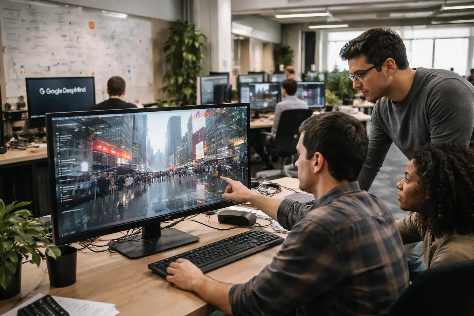
Google DeepMind says it is connecting Project Genie, its world-model platform, to the enormous Street View archive in order to generate interactive simulations based on real places. Instead of training systems only inside synthetic environments or narrowly collected robotics footage, researchers can now use a model shaped by roughly two decades of Street View imagery from more than 110 countries. The result is a platform that can render navigable, prompt-driven scenes inspired by real roads, intersections, and neighborhoods rather than purely fictional training spaces.
That is a meaningful step because world models become more valuable when they can represent the structure of the physical world at scale. By grounding Genie in Street View, Google DeepMind is trying to make simulation both broader and more realistic for machine learning, robotics, and autonomous systems.
What's new in this update
The key change is that users can now generate environment variants from actual locations and then alter them with prompts. A street can be simulated under different weather, lighting, seasonal, or traffic conditions without the company needing to capture every version in the real world. That gives developers and researchers a way to rehearse rare or dangerous situations that may be costly, slow, or unsafe to gather through field testing alone.
Google says the system is rolling out first to Google AI Ultra subscribers in the United States, with a broader launch planned afterward. The consumer packaging matters less than the underlying technical signal: Google wants the same company that operates Street View, Waymo, and DeepMind to be able to turn mapping data into a strategic training asset.
Key details
Street View reportedly includes more than 280 billion images, which gives Genie access to unusual geographic variety. Even if current outputs are not fully photorealistic, they can still be highly useful if they preserve enough structure for training, planning, and behavioral testing. For robotics and autonomous driving, variety often matters more than visual perfection, especially when the goal is to expose systems to many plausible states of the world.
Several implications stand out:
- Real-world geography becomes easier to simulate without physically revisiting each site.
- Rare conditions such as storms, unusual lighting, or edge-case traffic patterns can be rehearsed more cheaply.
- Waymo and other autonomous systems may benefit from broader pre-deployment scenario coverage.
- Robotics researchers gain a larger supply of environment data for navigation and planning experiments.
DeepMind also notes that Genie is still not fully physics-aware. That limitation is important. A visually convincing environment is not enough if the model does not reliably understand collisions, object permanence, or causal interaction. So the system is promising, but it is not yet a full substitute for rigorous real-world validation.
Background and context
World models have become a major research direction because they offer a way for AI systems to learn how environments evolve over time, not just how static images look. Instead of recognizing a scene, a strong world model can predict what happens next, what actions are possible, and how state changes in response to movement. That is useful for game agents, robots, and autonomous vehicles because they all need some internal understanding of space, consequence, and uncertainty.
Google has a distinctive advantage here because it already owns several relevant data and product layers: Street View for imagery, DeepMind for model research, and Waymo for autonomous driving deployment. Integrating those assets could help the company create a tighter training loop than competitors that must source data, simulation, and deployment through separate partnerships.
What to watch next
The next technical milestone is whether Genie becomes more physically consistent and less obviously game-like. Researchers will want to know how well the model handles moving objects, sensor perspectives, and action consequences over longer time horizons. If the environments remain too brittle or too approximate, their value for serious autonomy work will be limited.
There is also a product and governance question. Street-level imagery tied to real geography raises issues around data use, generalization, and how simulation outputs may interact with mapping, privacy, and commercial access controls. As these world models improve, ownership of large real-world datasets may become even more strategically important.
Why this matters
This matters because Google DeepMind is turning Street View from a mapping archive into training infrastructure for machine learning, robotics, and artificial intelligence. If Project Genie can reliably generate useful interactive environments from real-world locations, Google gains a scalable way to train systems for navigation and rare-event handling without waiting for physical deployment. For Waymo, Google AI Ultra, Street View, and broader robotics research, that could make simulation a much larger competitive advantage.
Reader context
This story belongs to Northstar Herald's Generative AI and Machine Learning coverage, with related entities including Google DeepMind, Project Genie, Street View, Waymo. The report is based on TechCrunch AI source material.
Related coverage
Why it matters
This advancement provides a scalable way to train robots and autonomous vehicles on rare real-world scenarios that are difficult or dangerous to capture in live testing.
Read next
Follow this story through the topic hub, more ai coverage, and the latest updates.
Weekly briefing
Get the week's key developments in one concise email.
Get a fast catch-up on the biggest stories, the context behind them, and the links worth your time.
Cadence
Weekly, for a quick catch-up
Coverage
AI, business, world, security, sports
Format
Clear takeaways and useful context
Request the briefing
Leave your email to open a prepared request and get on the list for the weekly briefing.
About the byline
AI reporter
Alex Rivera reports on artificial intelligence with an emphasis on model launches, frontier lab strategy, developer tooling, and the policy decisions shaping commercial deployment.
Sources and methodology